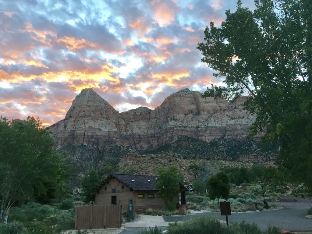
Our two weeks under Watchman’s eye gave us a new sense of self. We left at day break with a general sense of direction to head east and not much in the way of reservations. It is a lot less structured than what we used to expect from ourselves and our colleagues as college prof and corporate officer but we are changing as we learn that we don’t know what we don’t know until we do it.
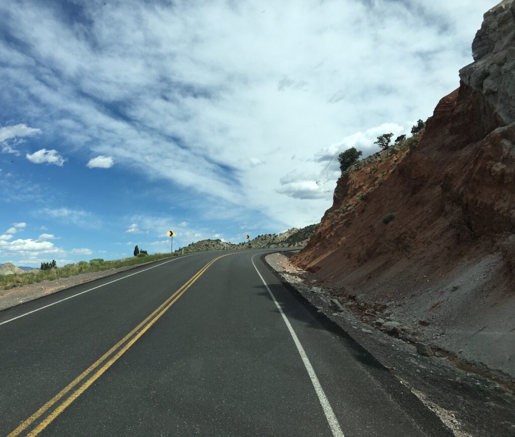
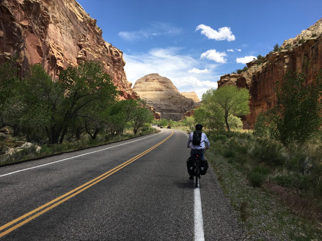
Saying goodbye to the familiar Zion hardscape, 245 miles later we were back in switchback country summiting to Betty’s record elevation of 8385 before the descent into Capitol Reef National Park where we entered off the grid country with no cell, internet, tv or radio service.
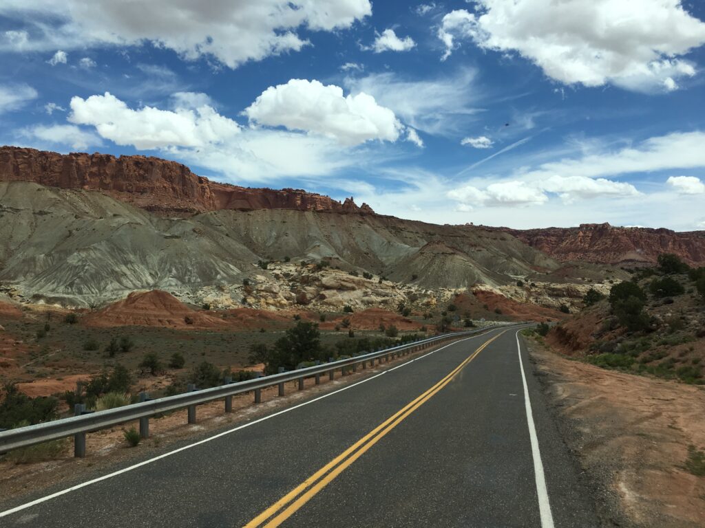
Stunning vistas lead into the least visited of the Mighty Five, which you wouldn’t suspect, but given it was Memorial Day weekend campgrounds were full and the rangers were directing traffic on the most travelled hikes.
Wondering if today was a lucky day, we pulled into the campground on a long shot Sunday, wondering if anyone had cancelled or left early due to the forecasted rain. The camp host gave us a hearty “you stupid tourist chuckle,” but let us park in a neighboring gravel lot to bike the park til dusk.
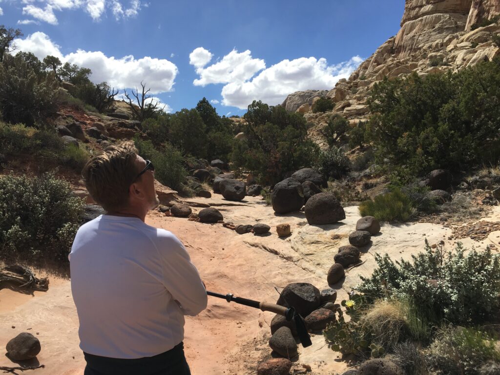
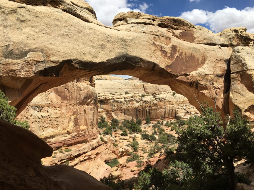
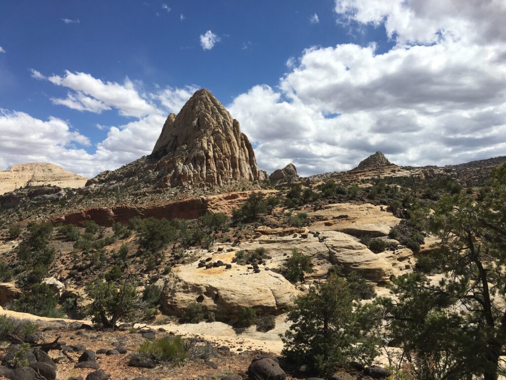
Capitol Reef’s name comes from a rock formation resembling the DC Capitol dome combined with the rest of the terrain which looks like a reef that got pushed up from the sea. We chose the 3 mile Hickman Bridge Trail, one because it was on the shorter side to fit our timeline and two, because it had a 50 cent map interpretive map with 17 hidden markers to find, like this field of andecite – a black volcanic rock that looks totally out of place that no one is sure how it got there but know it came 200 million years ago. Andacite to see.
We examined the bridge from all angles. On the approach …
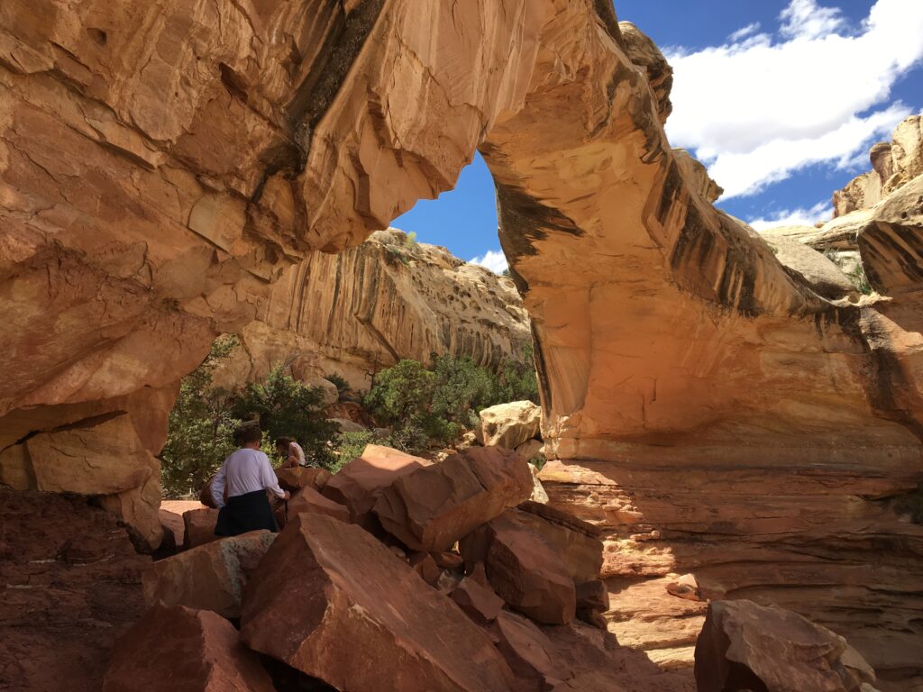
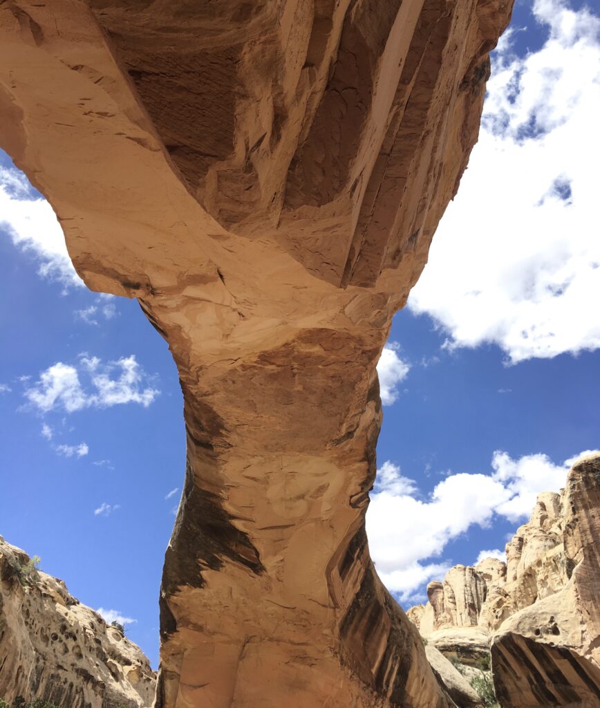
Underneath …
And from behind.
As we appreciated nature’s construction, a pack of rowdy middle schoolers showed up cueing us to exit, trail right where we looped around and out, heading back toward Betty to wrap up and call it a day, admiring more reef scenery along the way.
We returned to thank the ranger for the primo parking spot and sheepishly ask if a campsite became available, but he was busy hooking up his friends in fifth wheels on the no-show spots. We took the flyer for BLM alternatives and headed to Notom Road, 8 miles east of the park. It turned out to be our lucky day just like it would have been anyone’s lucky day who decided to pull roll into BLM lands and drop the jacks.
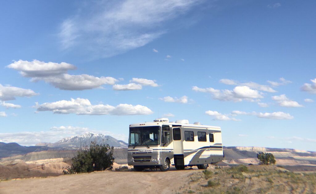
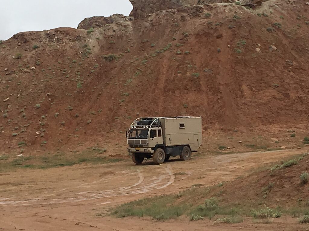
Notom Road connects Capitol Reef to Bullfrog, 66 miles south near Lake Powell. It is a road of dirt offshoots for free camping. Never having BLM’d before, but familiar with the concept from our tour of the sites around Yuma, AZ, we had two criteria. One, could Betty get in and out without getting stuck and two, was it level enough to keep the fridge from shutting down. Six miles in, near marker 0150 but prior to the large drop into the valley, this flat piece of packed sandy soil fit the bill and we put down jacks.
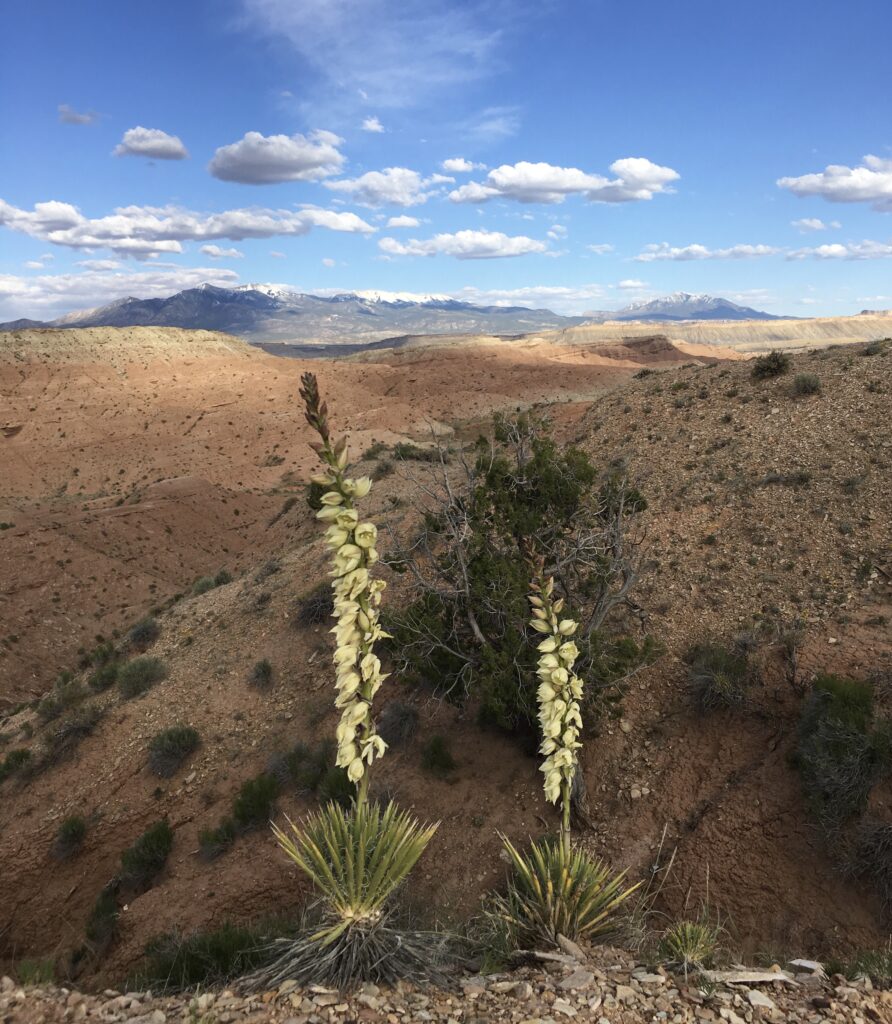
Views of the mountains, the reefs and the red clay dunes with a desolate yet grounded vibe. We were communing with nature in a wholly different way. No activities, technology, guidebooks or rules. When night fell, the wind came up strong, rattling Betty and Sheri’s nerves. Around 3am the clouds were gone and the night sky became our personal planetarium.

We left Notom Road the next morning, crushing on an extreme RV we had last seen on cable’s GAC Extreme RVs! into Hanksville and watching the landscape lush up. Andacite to see!