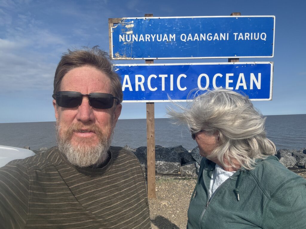
There are places that represent. The Arctic Ocean is one of them.
As the northernmost ocean on the planet, its ice acts like a mirror reflecting sunlight back into space, keeping the planet cool. It continuously releases cold water into the deeper ocean driving global circulation of currents that regulate weather and temperatures worldwide. As it warms, it is becoming a geopolitical hotspot in a race to tap into its natural resources and create international shipping lanes. It is also really, really, far from a Walmart.
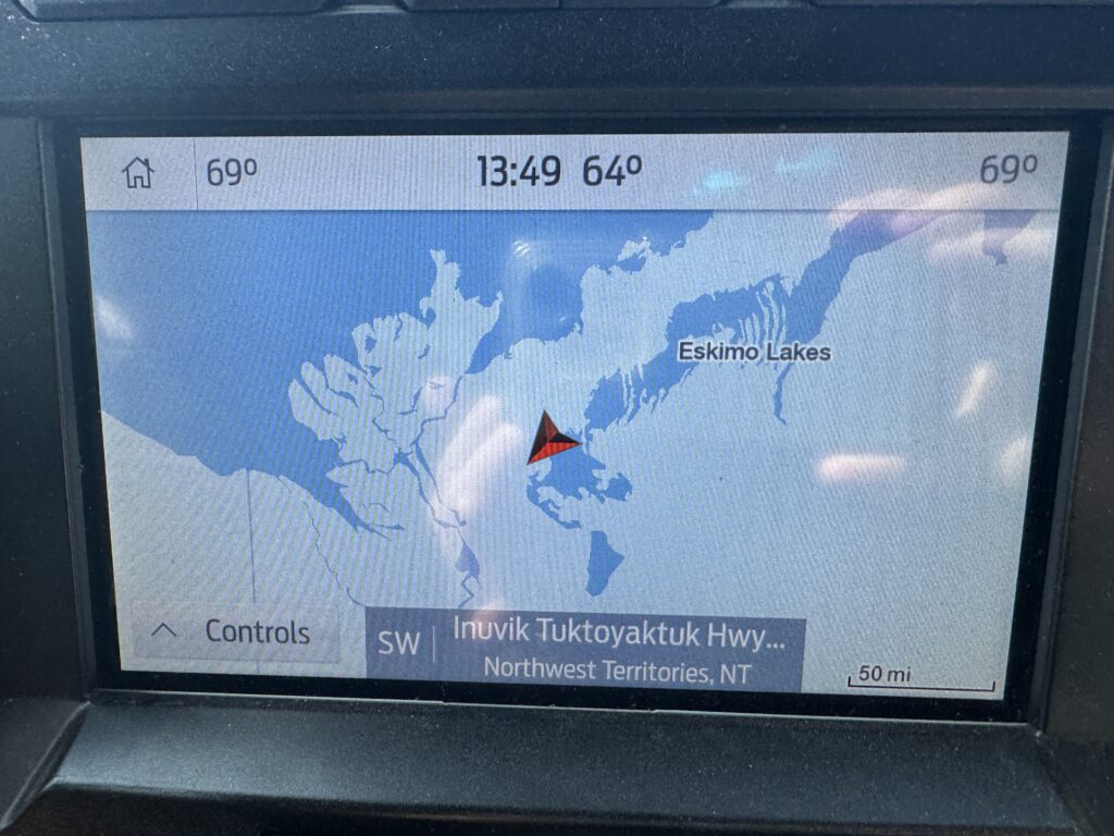
Sitting in Florida on the Gulf of Mexico, the Arctic Ocean seemed like an opposite and impossible reach, making it oh-so Sheric attractive. There is only one road that dead ends at the Arctic Ocean, the Dempster Highway. The 1979 era dirt “highway” was named for a Mounty who discovered the sad fate of a lost patrol that was last seen heading deep into the Arctic. It is an auspicious name, but once you drive The Dempster it makes a lot more sense.
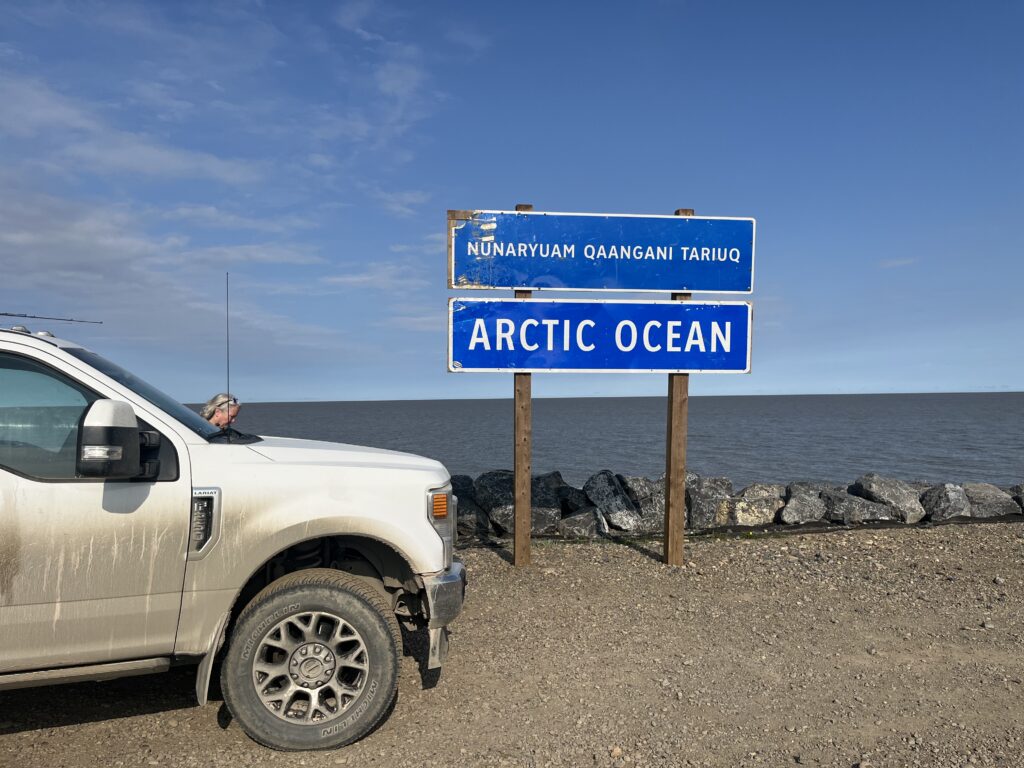
This is a road that mainstream America cannot understand. It is dirt and crushed shale piled 20 feet high above the Arctic permafrost for 457 miles. Permafrost is a strange soil that remains frozen year round. It is not the top surface of the Arctic; it lies a foot or two below. On top is a thick biomass of lychee, scrub brush, and other un-namable plants that feels like you are walking on a used sponge. In places the road is passably maintained; other times so bad it is only suited for ATVs and sleds. The Dempster is primarily traversed by big rig truckers living on the edge of sanity delivering food, fuel, and water to The North. Prior to the Dempster, they drove up the frozen Mackenzie River in the winter. Our trucker buddy, Loren, said he’d much rather take the river-ice road.
We don’t often break down, and we try not to show it to each other to keep the other’s spirits up, but there are days that feel like a breaking point. Halfway between Inuvik and Arctic Ocean, Sheri cried and Eric stopped the car and got out. The Dempster Highway can break even the strongest effort-filled couple. Not to sound like a broken record, but it’s been more than 500 miles of rutted, potholed, washed out roads that scramble your insides and rattle your teeth. “I just want it to be over,” Sheri cried. “I just don’t want to throw up,” Eric replied.
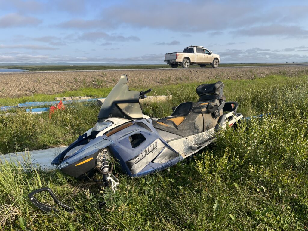
There’s a place in your mind where the end feels imminent. Whether it is or it isn’t is another story. Sometimes a mutual breakdown is powerful. You lean in to the other’s pain and push through it together. By the time we reached Tuktoyaktuk and realized our destiny(ation), our stomachs had recovered, our brains had reset and our spirits had lifted.
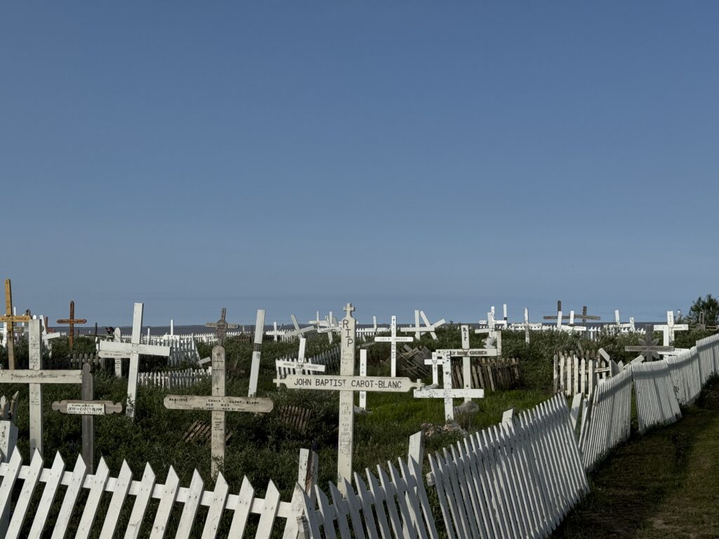
This far north, the Boreal Forest gives way to pure tundra with odd protrusions formed by trapped ice pushing the permafrost into small mountains, aka pingos. The landscape has a spooky foreboding aura to it. You constantly push thoughts of truck emergency maintenance or personal health issues out of your mind. We had the feeling that we would last about 15 minutes hiking across the tundra before the bugs, plants, or icy water swallowed us whole.
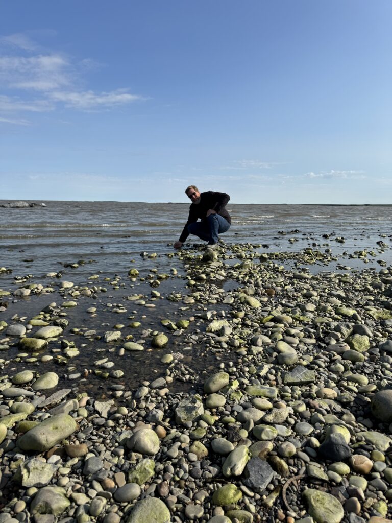
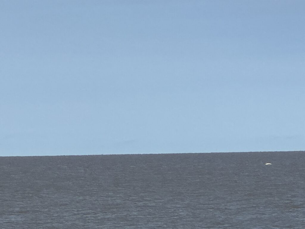
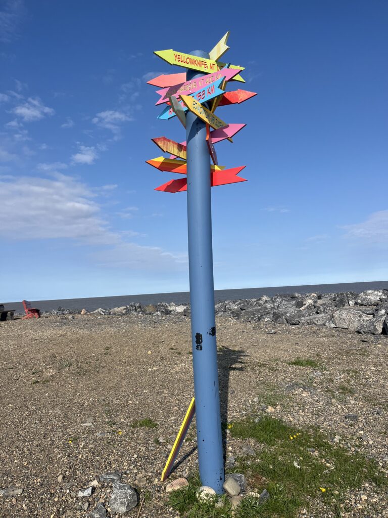
An excited tourist spotted a pod of beluga whales porpoising in the distance, summoning everyone to the pier. Bikers who camped next to us in Happy Valley stripped down to their shorts and waded into the icy arctic, ignoring the posted NO SWIMMING signs. Friends from Eagle Plains exercised their St.Bernard on the beach while we dipped our hands in the water to complete the journey. We could not help reflecting on the differences between the shore of Tuk and the shores back home of Siesta Key. Two oceans, two very different worlds. One sees 20,000+ visitors on a single busy day. The other sees 3,000 in a year. We wondered why we had traveled so far to be one of the few. We wondered how we would get home.
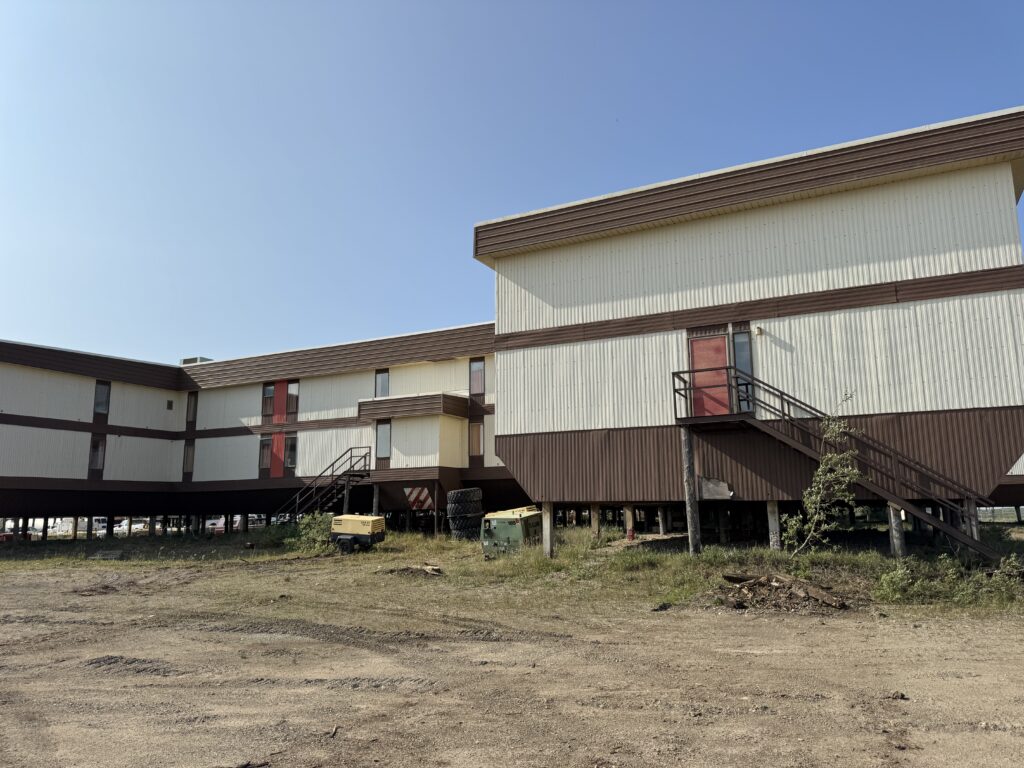
In our brief stay in Tuk, we drove through the weather beaten town where structures are built on stilts, boats and trampolines fill driveways and the dump is on the ocean’s shores. Living on the northernmost town accessible by road in Canada we think nobody moves to Tuk on purpose. It is a true home to a segment of the First Nations people who have been there for thousands of years. Everyone else is likely a tourist, climate change researcher or future frackers and miners.
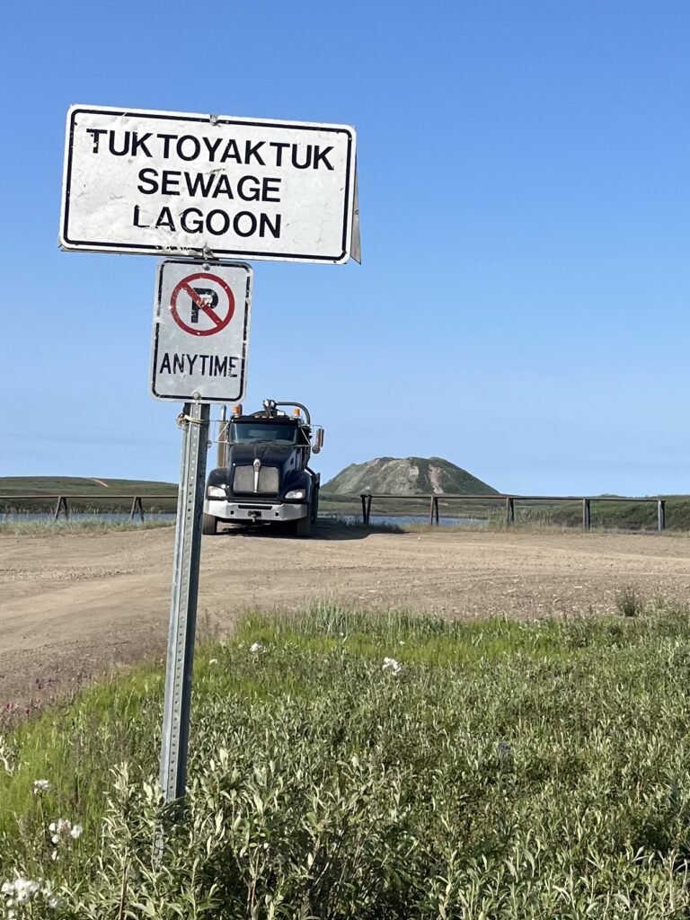
On our way back to Inuvik, we stopped to learn about those odd protrusions in the tundra formed by trapped ice pushing the permafrost into a mountain called pingos. There are only 8 pingos in the world, all of them off this stretch of the Dempster. The Tuk Office of Tourism is trying to make “Pilgrimage to the Pingos” a thing. They already have the T-shirts. Any takers?
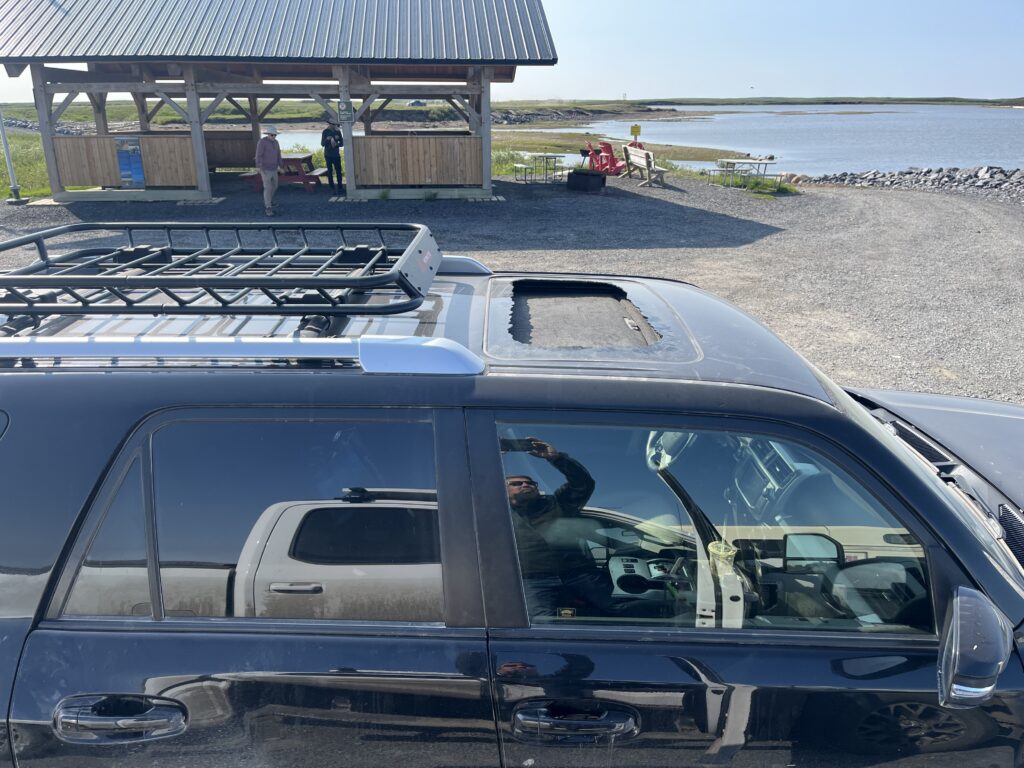
At a rest stop to admire a specimen pingo, we reunited with our friends from GNAF in Inuvik. A rock from a passing rig had somehow hit the moonroof on their Toyota 4-Runner and shattered the glass all over them leaving a gaping hole in the roof. Mike, the driver and also head of facilities in Inuvik, thought that a tarp might suffice until he could get to Whitehorse in August. Unfazed, they grabbed their box lunches and admired the pingos. It takes more than an errant rock to derail a north of north local.
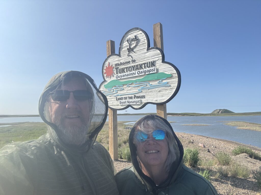
This is definitely the hardest adventure we have undertaken, from miles to hardstops, and it is going to take time to process. We are dirty and beat up. The T@G, CLAM, and truck are worse. We are thousands of miles away from home. The next five hundred return miles are on a nearly impassable road. It reminds us that most climbers who perish do so descending the summit rather than on the way up. Having touched the Arctic Ocean it is no time to get giddy. The Dempster won’t care.