
Since beef and kamut soup takes 8 hours of slow cooking, our best while-we-wait activity was 11 miles outside the park in the Southwest Desert. Kamut is an ancient grain from Egypt that gets frequent mentions from Sheri’s favorite on-line chef, Cookie & Kate. It turns out, we have a pantry full of ancient grains waiting for an opportunity to cook all day. The unusually cold and wet Utah May had backed off a little to give us partial rain, perfect for a long-cook obscure grain day.
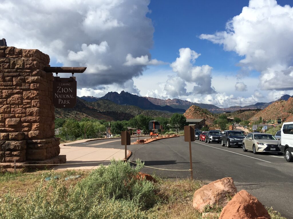
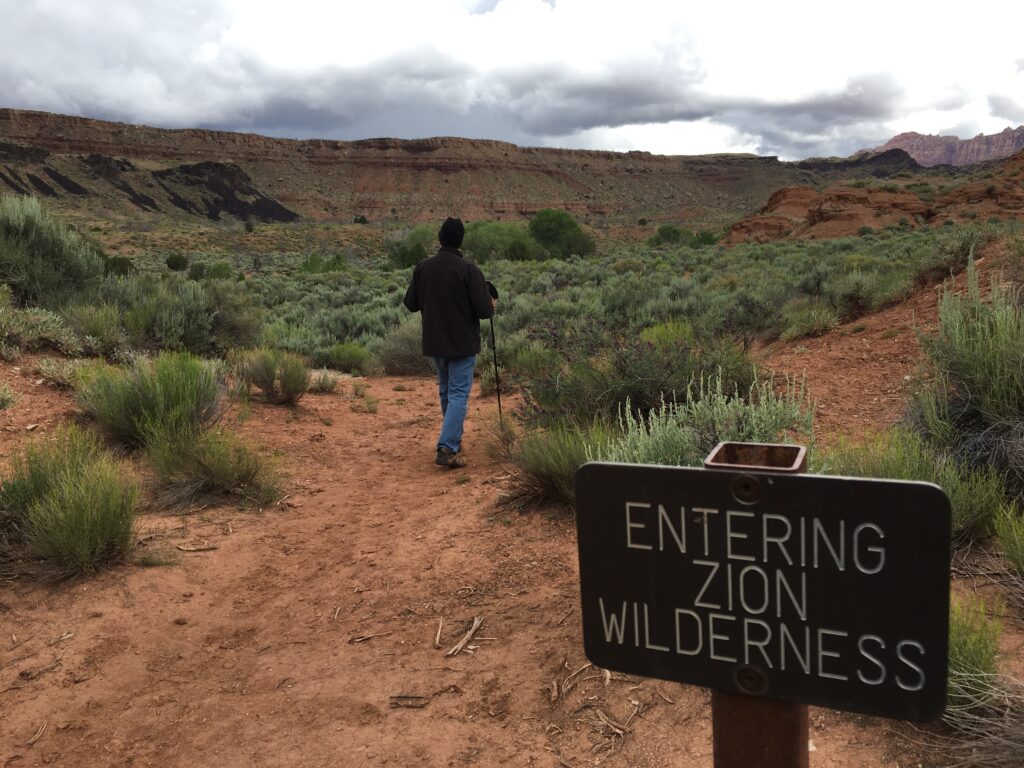
Back in the Como saddles, we waved goodbye to the long line of incomers and peddled under thick clouds toward the ghost town of Grafton. The plan? Tour of a bunch of empty buildings, then continue west to find the Coalpits Wash Trail. Some guy on-line called ‘Joe’s Hiking Guide’ wrote about the lonely but beautiful Coalpits trail in the western desert of Zion. That was enough for the two of us who had longing to commune with nature away from the packed trams and prepared-surface, high-use featured trails in the park.
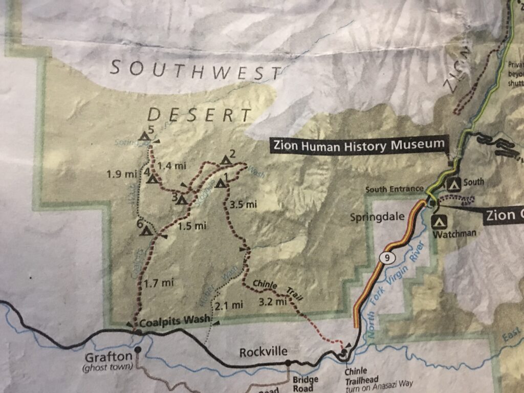
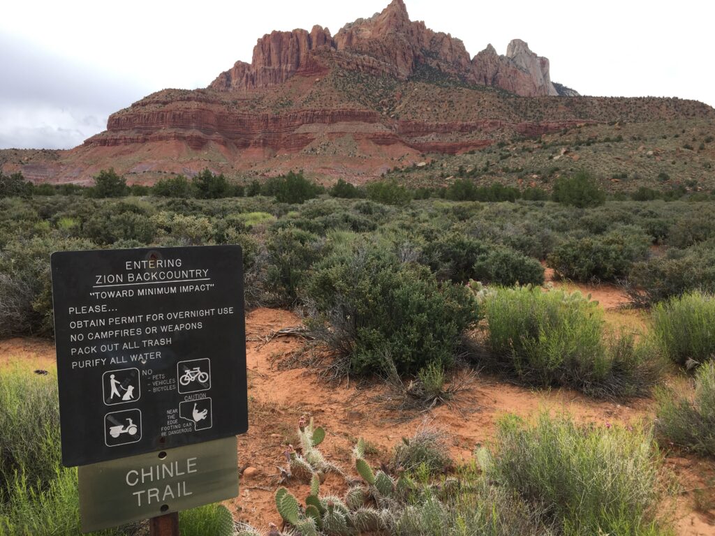
Using this wilderness map from the Visitor Center, we did the math. 35 minutes to ride 11 miles, 40 minutes to walk 1.7 miles to campsite 6, another 40 minutes for the 1.5 mile walk to campsite 3, also called Old Scoggins Stock Trail, 90 minutes for the 3.5 miles from Scoggins to the top of the Chinle Trail, where we would take 50 minutes on the 2.1 mile Huber Wash offshoot back to route 9 for the final 60 minute 2.5 mile walk back to Coalpits Wash to retrieve the bikes for the 40 minute, 11 mile bike ride home.
355 minutes or 5 hours and 55 minutes. 10.3 miles of hiking. 22 miles of biking. With 8 hours to soup, we had two hours to spare. Unfortunately, the so-called map, a flimsy insert in the park service newspaper, hardly does justice to the vertical nature of the terrain. One moment you are crossing scrub only to encounter a deep canyon with sheer 500 feet drop-offs in your path.
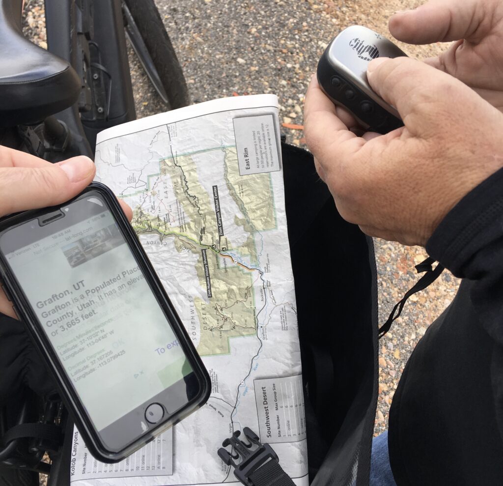
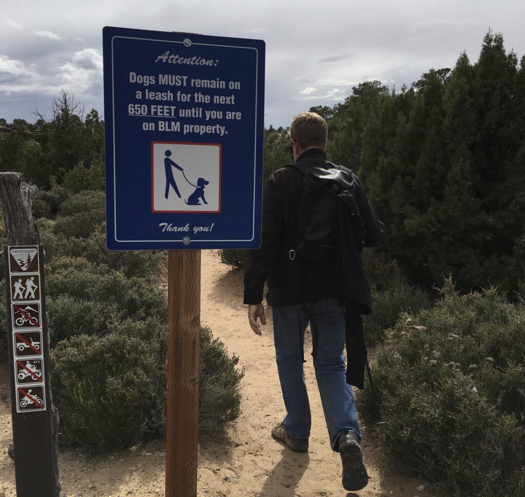
Armed with water, snacks, our map and an eTrex handheld GPS, we used up the first 30 minutes of spare time finding Grafton. Even though it is clearly on the map, there are no markers on Route 9. Somehow we missed the bridge road turn, and found ourselves too far east at the bottom of the long grade into Rockville near the hidden gate that leads to the Coalpits Wash trailhead. If you are not too picky about your plan, that will work, so we locked up the Comos and began our journey.
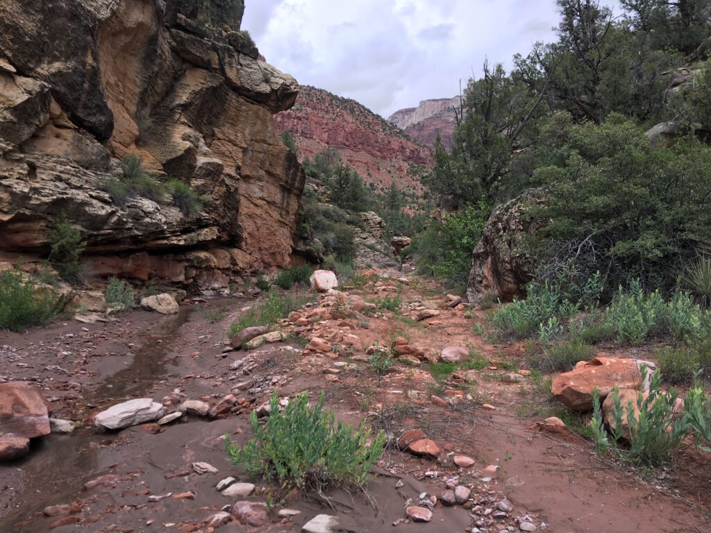
While the trail was not paved like other Zion attractions, it was flat dirt, maintained and obvious to follow. The clouds were turning gray, but the vibrant flora/fauna was like nothing we’d seen in other parts of the park.
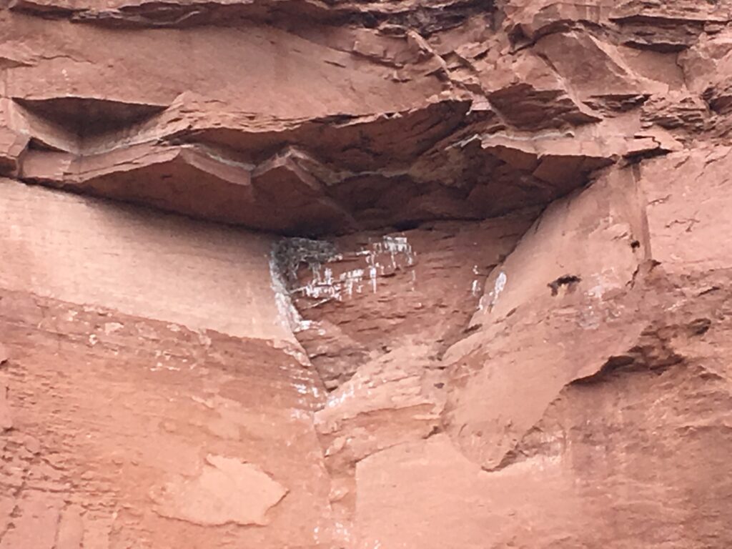
Everything was going according to plan. Meandering through the wilderness. Admiring flowering cactus, juniper and wildflower among the rainbow colored rocks. Walking in awe-inspiring silence with no sounds but wind and birds. We even happened upon a giant raven nest tucked in a cliff. Momma was on the hunt and babies crying for food. We were in Ansel Adams territory.
When we arrived at the Old Scoggins Stock trail, things took a turn. We were near the bottom of the canyon with no obvious high ground trail to follow, no signage and not much help from the map. We had a choice to make. Press on into the narrowing canyon and trust that the trail on the map leading out of the origin of the canyon was not too technical. We had come to understand the the word ‘technical’ meant that you need to have rope and know how to use it. We had a Pink Lady apple, four graham crackers and two yogurts but no rope. We were pretty sure that any path requiring 50 feet of rope to ascend was going to be a bad idea.
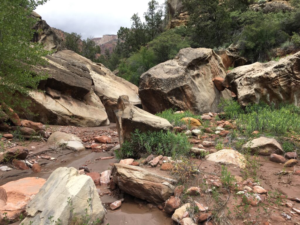
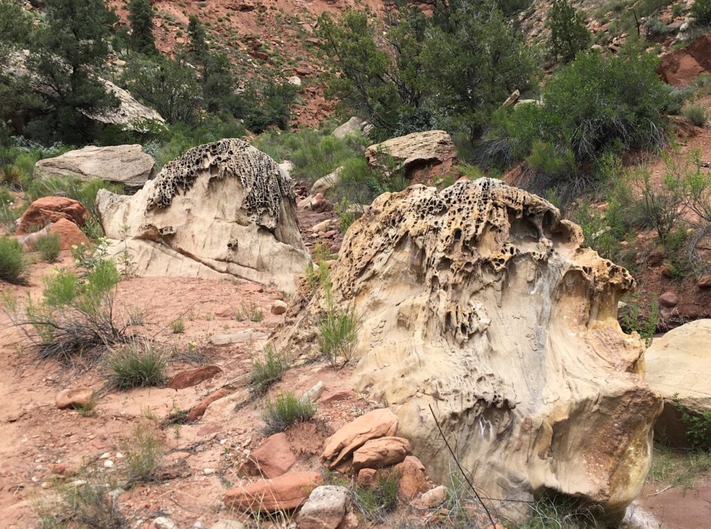
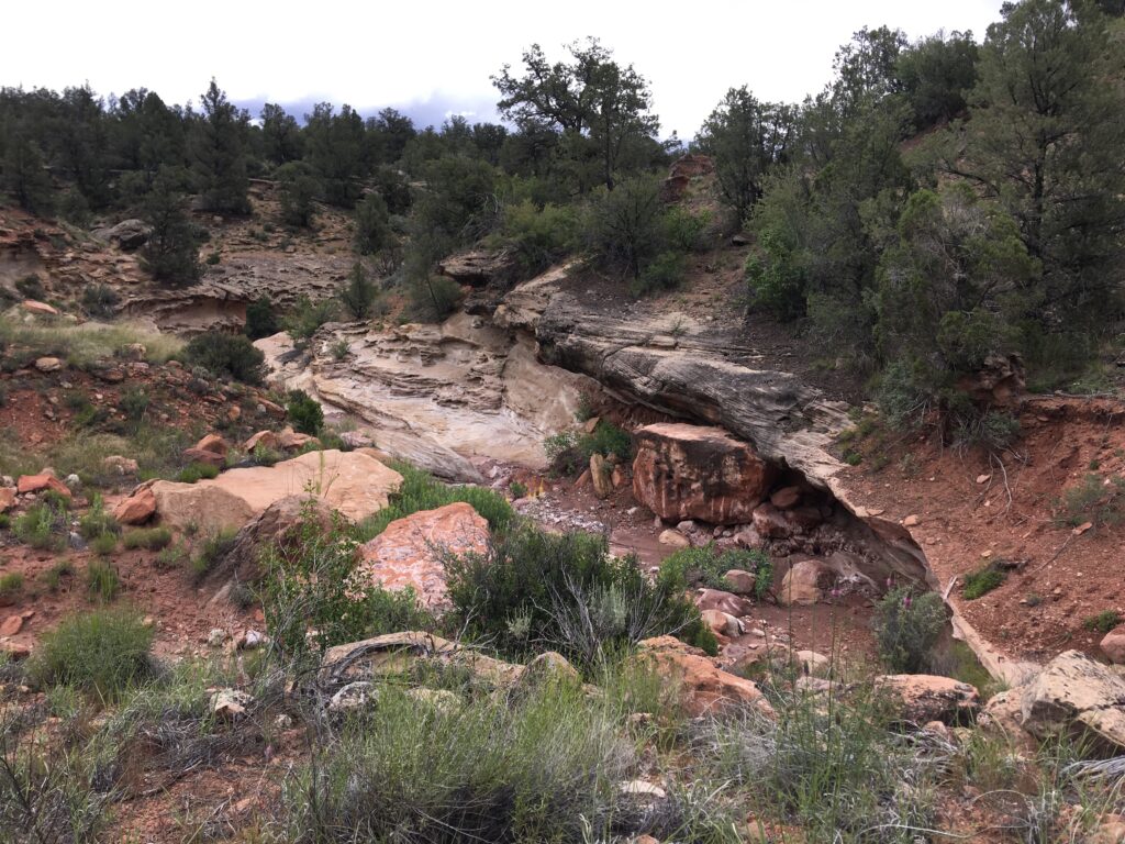
Pushing upstream required bouldering and avoiding quicksand (always bring your hiking poles on a wash hike!) but nothing ‘too technical,’ fortunately. Rain drops fell, and the sun shone. There was not a soul around, but there were some boot prints leading upstream in the creek. Surely once we get over these big boulders the trail will reveal itself and we will be back on our way. But not before passing through alien rock land…
Narrowing river beds waiting for the next flash flood …
And trail-less terrain … “Do you think that dirt patch on the left could lead us out of the canyon, Eric?”
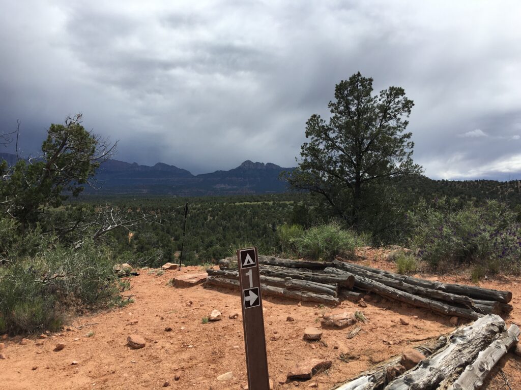
While we never found campsite # 3 or 2, and we lost the boot tracks and the GPS batteries died, not that it was any use to us anyway, we pressed on, making contingency plans like noting shelter caves and foraging for beetles. Around a narrow bend in the creek, sheltered by vertical canyon wall where Sheri successfully product- tested her Keen boots in a patch of quick sand, the canyon opened up as sheer rock walls gave way to pine-covered, moderately steep dirt-covered hillsides. We picked up an obvious foot path and switch-backed our way up 700 feet onto the canyon rim. A mile hike along the rim, and there it was. Campsite #1. We were back on the map. It was 3:15 and we only had 8 miles to go.
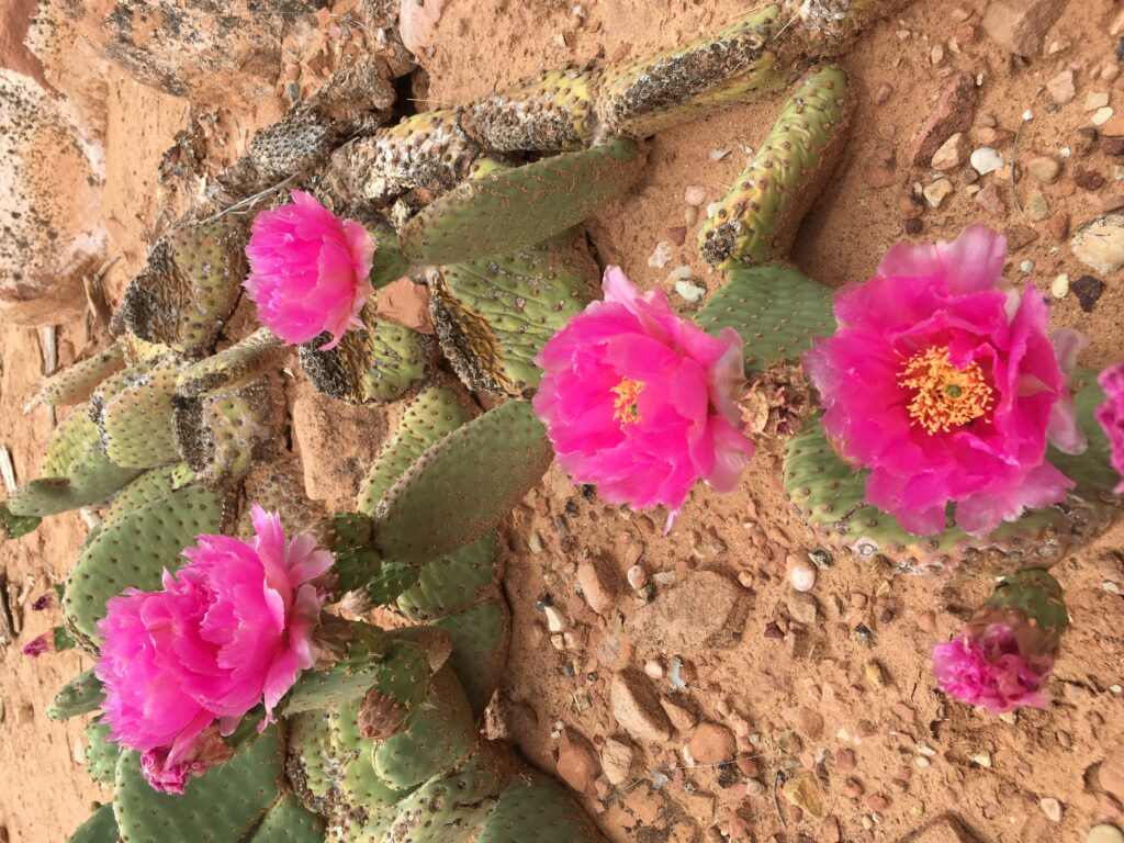
Eric the Pacemaker said we had to hoof it to beat the rain forecasted for 5pm. While he fast walked, Sheri galloped to keep up, falling behind occasionally to take in the beauty of the flowering prickly pears.
Around 4:30 we hit the Chinle Trailhead which was bitter sweet. We had hoped to locate a ‘path’ down Huber Wash as shown on the map insert and cut the corner back to the Como’s saving some six miles of transit along route 9 through Rockville back to the east. If it was there, we didn’t see it. Or, rather we saw many ‘paths’ that may have been it but did not feel like we could commit. We couldn’t see Route 9 but there was some paved road in the distance so we tried to make a shortcut toward Coalpit as best we could, through a thorny bush field, down into a crevasse, emerging into a neighborhood of multi million dollar cliff side homes.
We hiked to a dead-end street at the far end of the development a good two miles from the entrance to the west. Unfortunately, the term ‘cliff side’ was accurate and the last quarter mile to Route 9 was also what we now know to call ‘technical.’ Eric was standing on the edge of a cliff saying, “I think we can make this, did you bring rope?” while Sheri was running the other way yelling, “Come this way, I found the trail!” trying to coax him off the ledge.
A neighborhood trail had a sign indicating a path toward BLM land and possibly the elusive Huber Wash short cut. Tired but also hating the thought of heading two miles west to get out of the neighborhood than repeating those two miles along highway 9 just to get to the point that we could so clearly see below us and then to have four miles further east back to the Como’s, we agreed to give 30 minutes of scouting for Huber before shifting to the ‘walk forever but know where we are going’ plan.
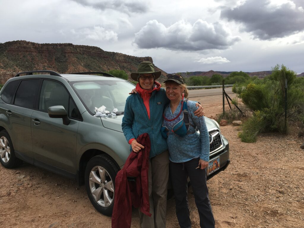
Then we heard barking dogs. PEOPLE! Two ladies emerged with four Australian huskies and as we told them about our day in the Zion wilderness it was good news, bad news, then really good news. Good news, ‘You are heading in the correct direction to the Huber Wash path.’ Bad news, ‘It is a 2 1/2 hour hike to the Coal Pits Wash trailhead from there.’ Really good news, ‘Did we want a ride instead?’ We thankfully accepted.
Fun fact, the Subaru Outback is surprisingly roomy. You can put four hikers, all of their gear and four large dogs in the SUV quite easily. It helps if one of the dogs stays up front and operates the gear shift.
Hugs and handshakes we asked for a picture and their names. Marsha and our rescue driver, Helen. How appropriate.
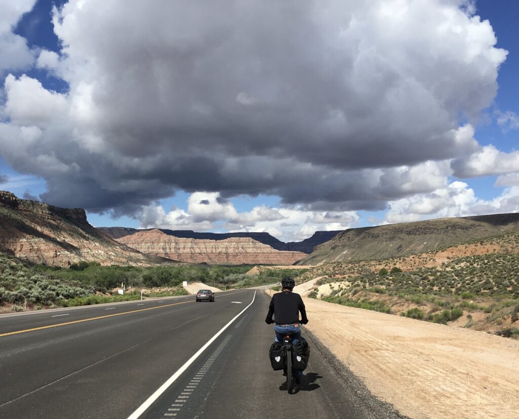
The rain had arrived as we dialed up the electric assist and blasted the 11 miles back to Zion at 22 mph, getting wet and cold but not caring because that beef and kamut was patiently waiting. In the end, the pedometer registered 12.9 miles and 72 floors climbed. Joe was right, it was an awesomely beautiful and lonely trail just like we wanted.


