San Diego, geographically, is three Philadelphias with about the same population. Situated between the Pacific Ocean and the foothills of the Rocky Mountains, Admiral Baker RV Park sits in Mission Gorge, near the city’s eastern border hills. While we got excited and biked to PB on Tuesday, we thought it would be interesting to check out these San Diego hills before we relocate to Silver Strand State Park on the ocean later this month.
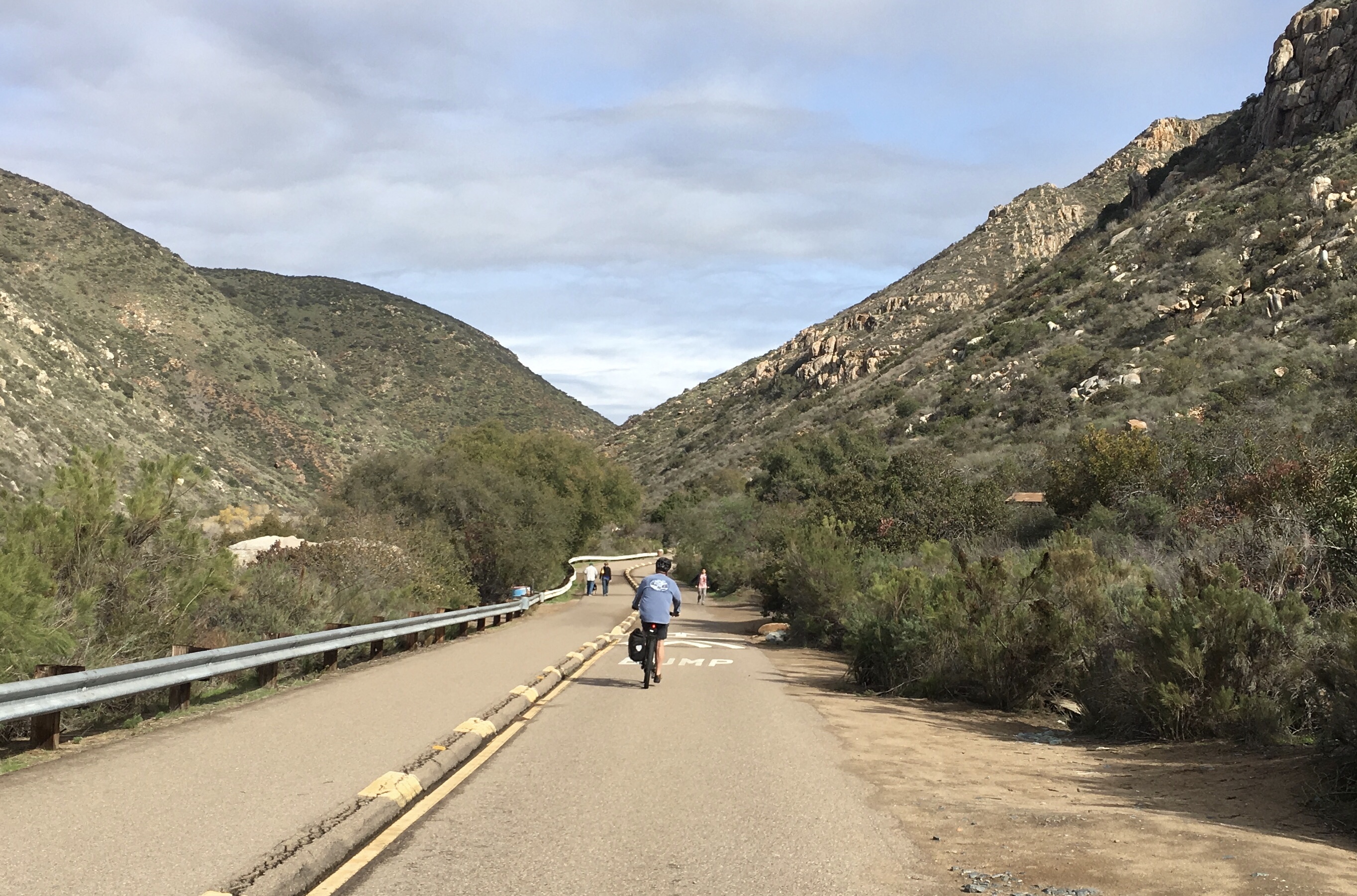
Five miles east of Betty is the rugged Mission Trail Regional Park. If you want to escape the urban grind and commune with nature, you can bike and hike more than 60 miles of trails or take on the Five Peak Challenge to see San Diego on high. With no intention of trying the all-5-in-1-day version of the challenge, we Como’d up with a picnic lunch and a sketchy idea of where we were headed to knock out at least one before the rain set in.
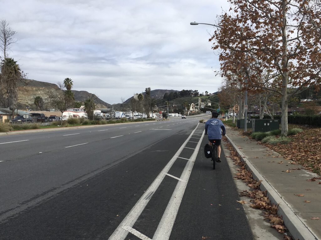
The San Diego hills are a huge advertisement for the beauty of an electric bike. Turning out of Baker, we descended rapidly to the San Diego River then joined an incredibly long and mildly painful climb back up the next ridge line. Fortunately, hills flatten out with a flick of the e-bike assist button, which we liberally used to keep our speed in the double digits up the inclines and alongside 60 mph traffic. Unlike Ashville, NC, street biking is a way of life in San Diego where the lanes are plentiful and clearly marked.
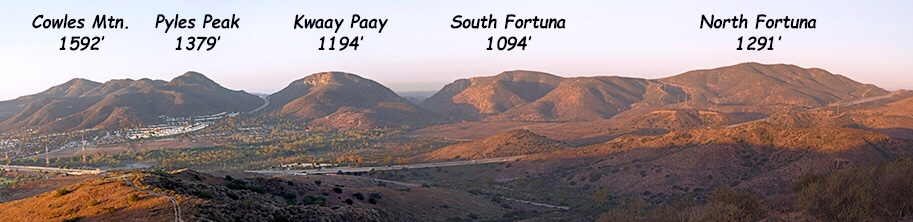
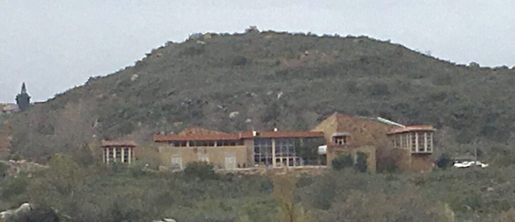
The regional park visitor center is an architectural wonder with a three story high bank of windows and sprawling deck overlooking the park. We checked the trail maps and planned a hike to the highest peak, Cowles Mountain. The trailhead was 3 miles away, so we snacked on half the lunch, then took off for Big Rock Trailhead.
Pedaling hard with anticipation to get started on the peak, we cut through the park on a paved trail that ran alongside the San Diego river.<

Exiting the park on the back side, we climbed out on a very long, steep thigh buster. Happy to get over the high pass, we raced down the backside and found ourselves at the entrance to the visitor center – exactly where we had started an hour before. Whoops.
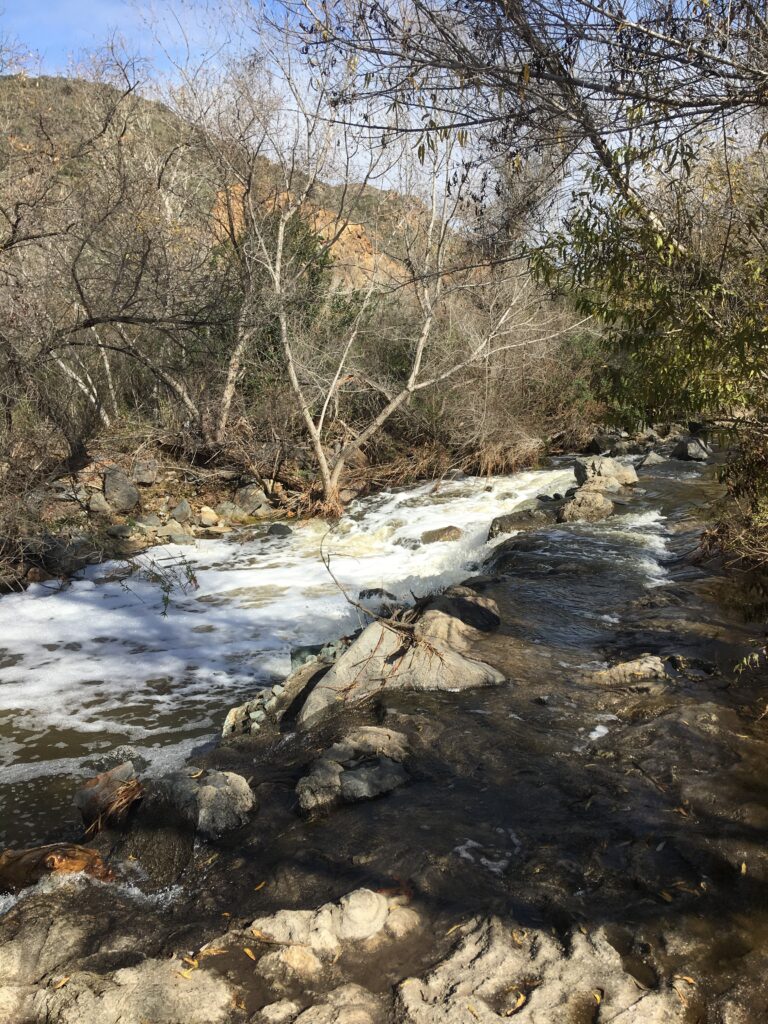
lan B – hike a different peak. The closest one possible. Stashing the Como’s, we grabbed the other half of lunch and pushed off for North Fortuna Mountain on the other side of the San Diego river. Following the signs for the river crossing, we were stopped by a raging river. Apparently, the river crossing was big boulders that you lept on to get across the river. It works – in the dry season in August. In January? those boulders are under water.
With military precision, we tranisitioned to Plan C. Hike anywere and eat the rest of the damn lunch becasue we were very hungry. A sign for a path to some rocks by the river sounded good enough so we hiked that out and enjoyed the rest of the picnic. Back at the visitor center, we convinced ourselves that if you’ve seen one city from the top of a peak, you’ve seen them all. With all of those San Diego hills between us and Betty, we bailed on a fourth attempt and headed home for a comfort dinner of spaghetti and meatballs.
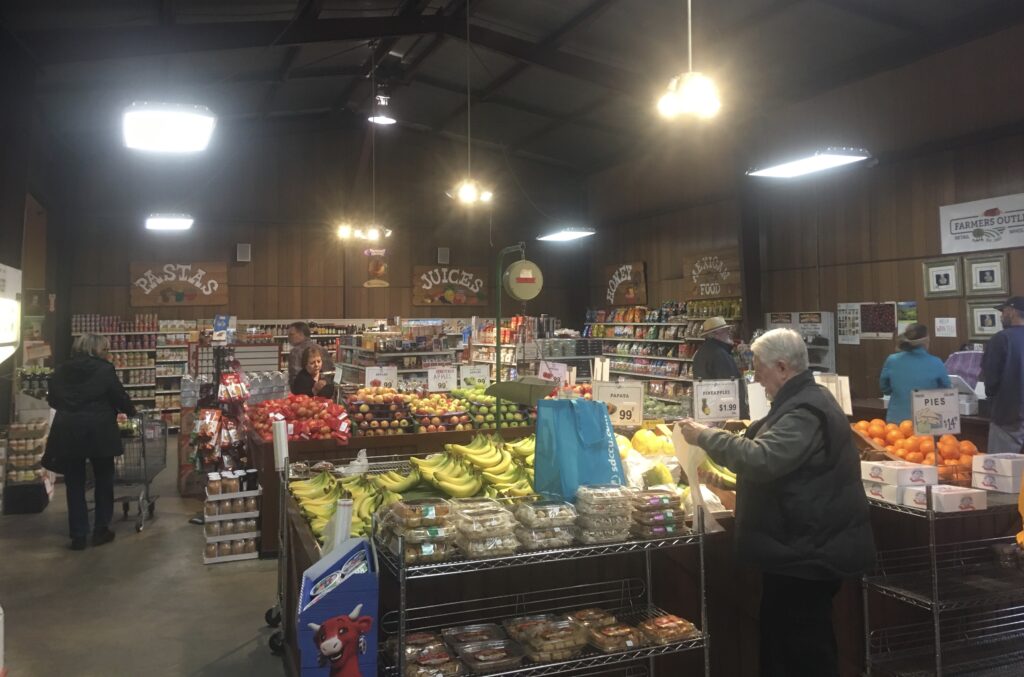
Today brought a quiet, steady, all day rain. Sheri finished her book, Eric did the laundry and just for fun, we pulled out the umbrellas and walked to the local produce market to procure veggies for a Red Thai curry dinner tomorrow night. Maybe after a muddy attempt at Mission:Peak.